Services
The data we capture. The reports you can use.
Twelve core capture types we run on industrial sites every week. Pilot-led, vendor-neutral, packaged so your engineers can act on it.
Visual Inspection
High-resolution imagery and video of assets that are hard to reach, unsafe to climb, or costly to scaffold. We document condition, damage, and corrosion without putting people at height.
What we capture
- 4K / high-resolution stills and video
- Zoom-ins on welds, bolts, and suspect areas
- Repeatable angles for trending and comparison
What you get back
- Annotated inspection gallery
- Condition report with severity ratings
- GPS-tagged imagery for CMMS integration
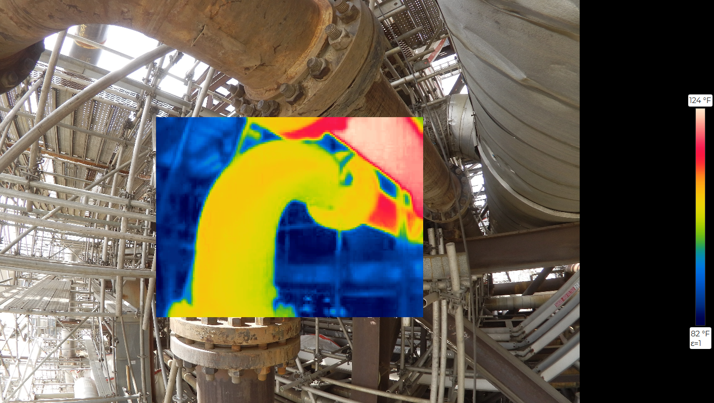
Thermal Imaging
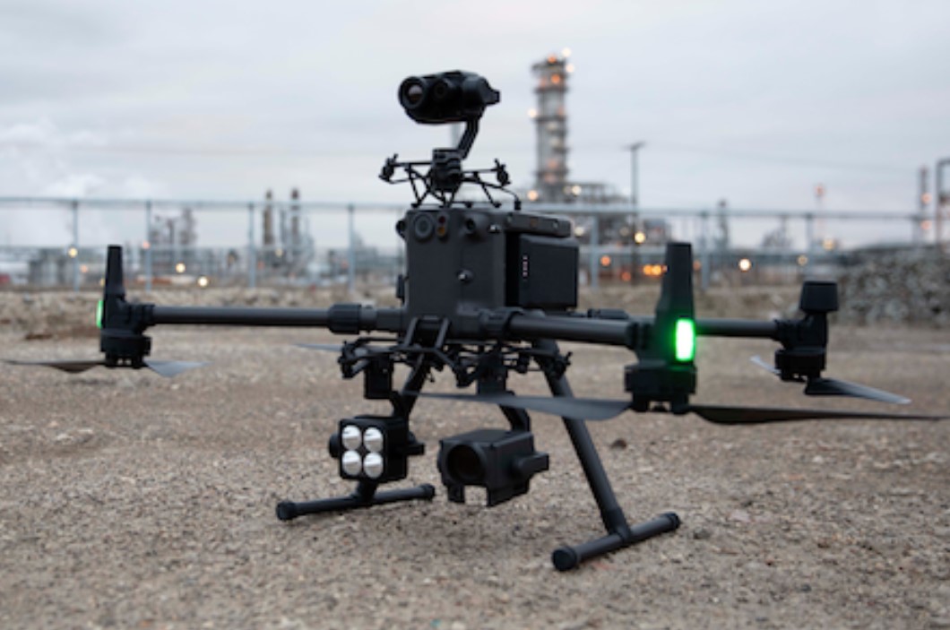
Infrared scans of assets to determine heat loss and insulation damage before they take you down. Captured at the right time of day, calibrated, with engineering-ready data.
What we capture
- Radiometric thermal (FLIR-class sensors)
- Paired RGB reference imagery
- Time-of-flight metadata for repeatable baselines
What you get back
- Anomaly report with ΔT readings
- Side-by-side RGB / thermal pairs
- Baseline dataset for trending
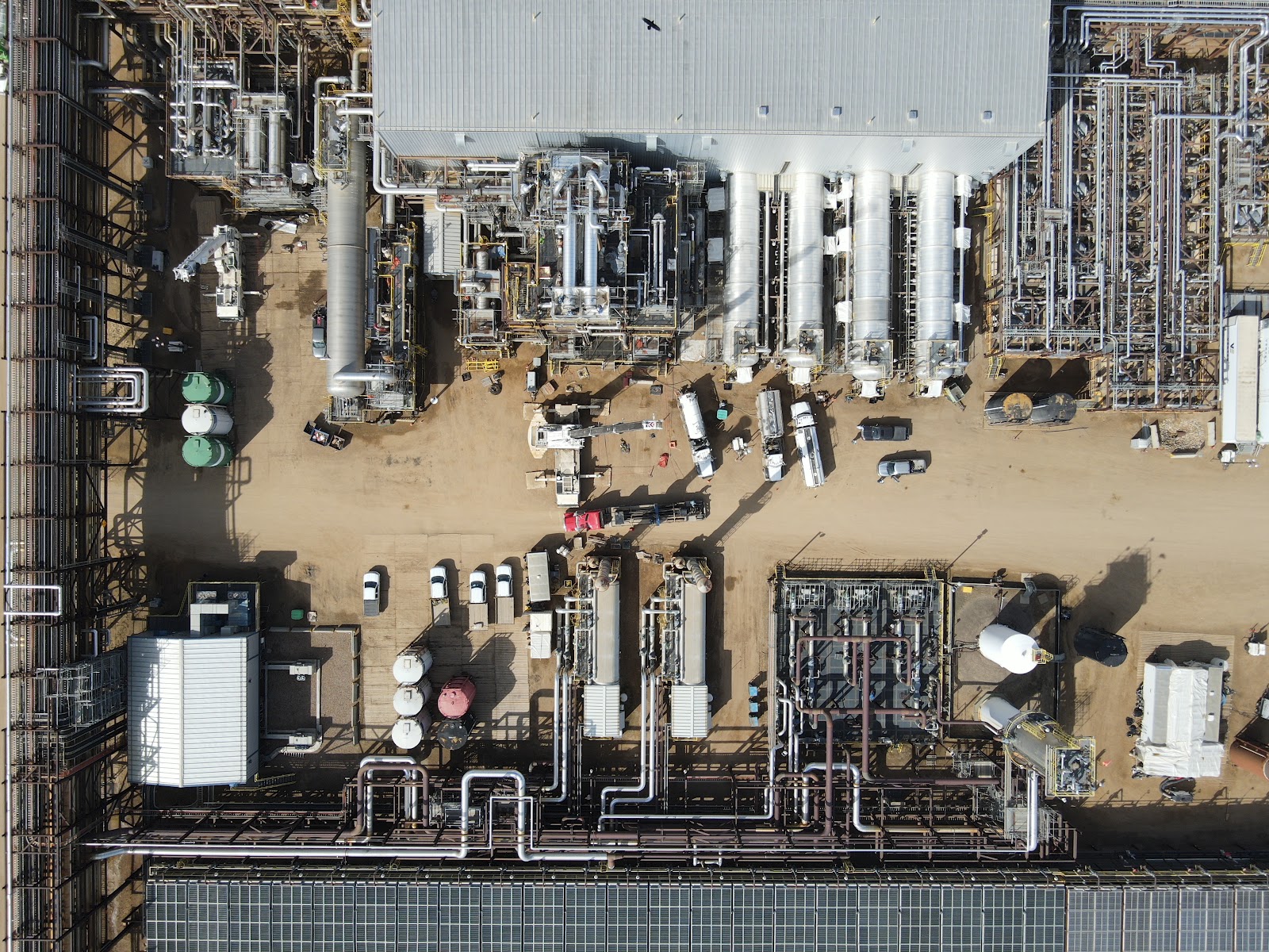
Aerial Mapping & Orthomosaics
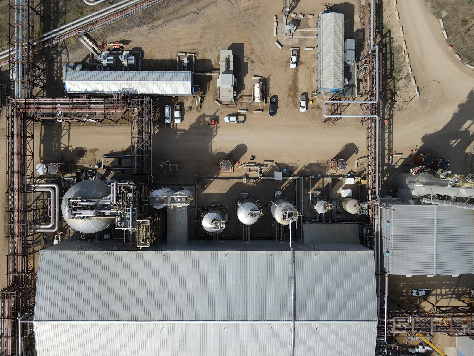
Sub-centimetre orthos and DEMs of your site, captured to a flight plan that matches the asset and the regulator. Built for measurement, not for marketing.
What we capture
- RTK-controlled flight plans
- Ground control points where required
- RGB + multispectral as needed
What you get back
- GeoTIFF orthomosaics
- Digital elevation / surface models
- Volume calcs, contours, change-detection layers
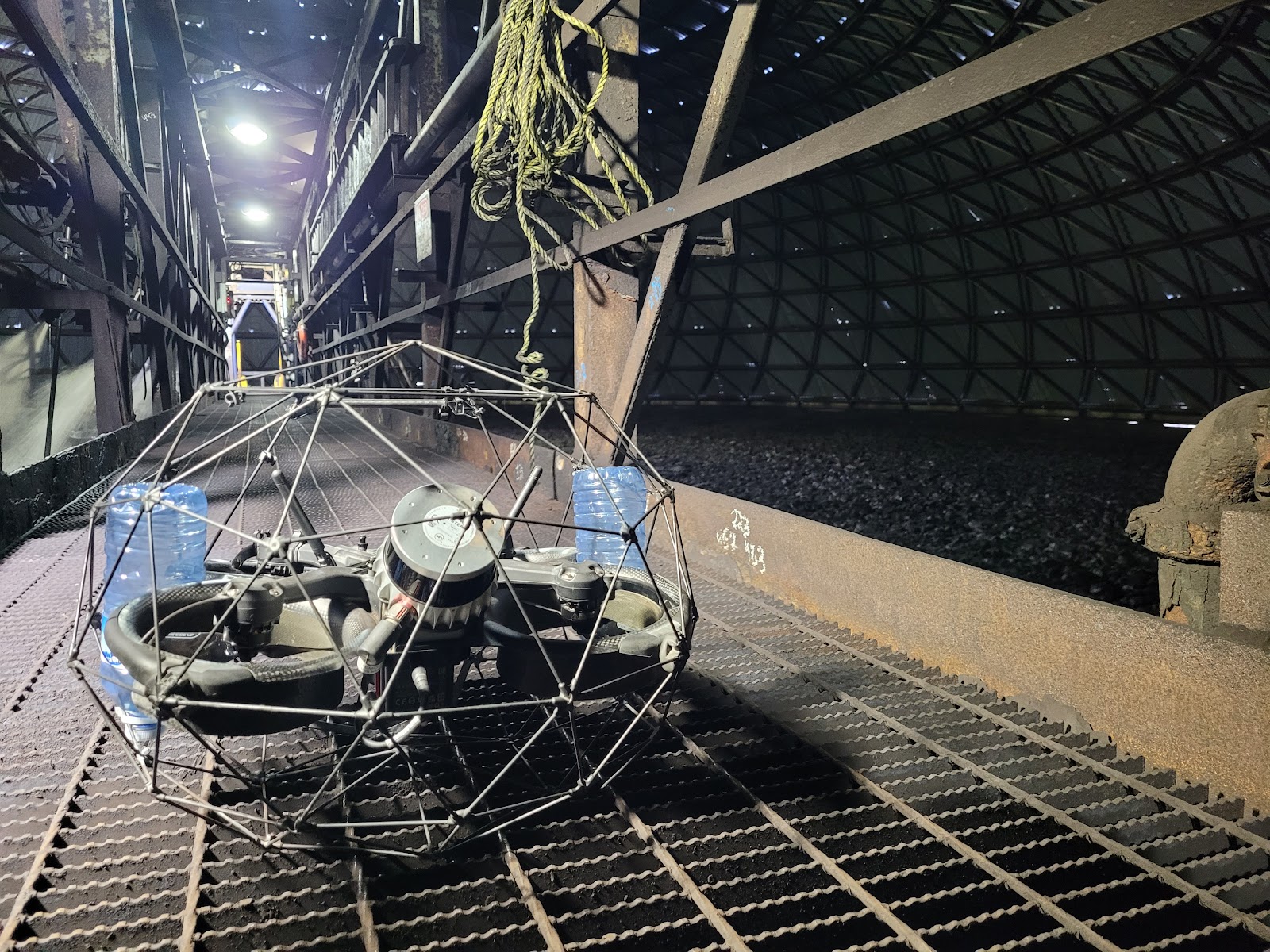
Confined-Space Inspection
Send a caged drone inside furnaces, vessels, ducts, and silos so no human has to go in. We capture corrosion, weld condition, internal coating wear, and structural defects on a single pass.
What we capture
- 4K video walk-throughs
- High-resolution stills of suspect areas
- UT (ultrasonic thickness) readings
What you get back
- Annotated inspection report
- Stitched interior orthomosaic
- Defect register tied to drawings
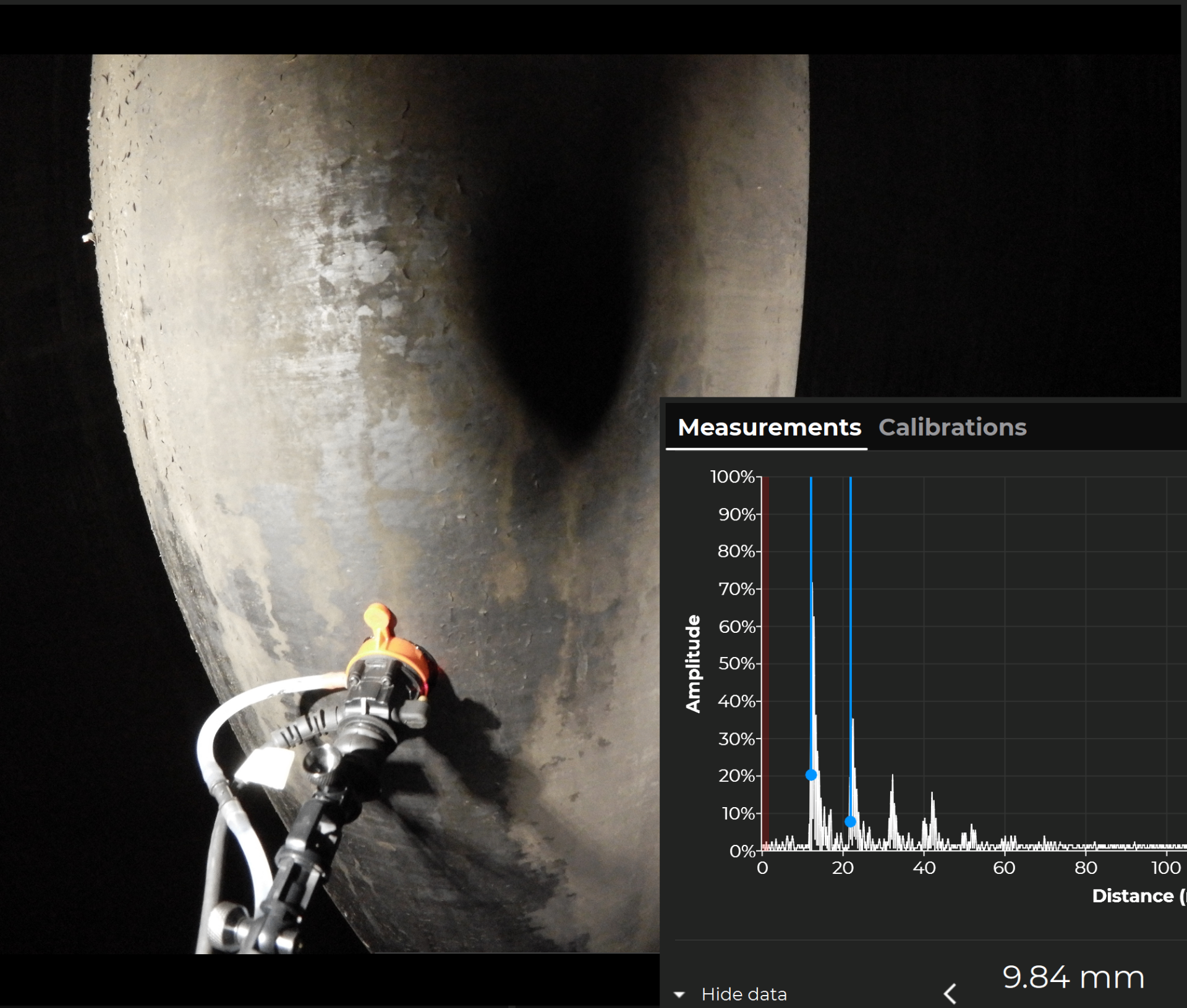
Ultrasonic Thickness Readings
Contact-based thickness measurements on asset walls and structure — without ropes or scaffolding. We reach the spots that are normally expensive, slow, or dangerous to access.
What we capture
- UT sensor contact readings from drone-mounted arm
- Repeatable test points on shells and roofs
- Correlated location tags per measurement
What you get back
- Thickness measurement report
- Trending charts by asset area
- Wall-loss map tied to drawings
Security & Surveillance
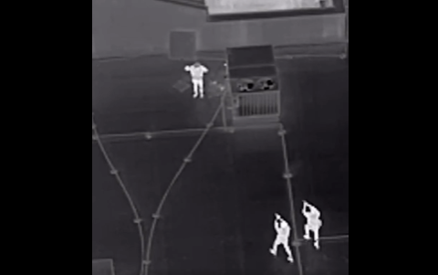
Live drone patrols and thermal overwatch for perimeter monitoring, theft deterrence, and after-hours site visibility. We extend your guard force with eyes that can move.
What we capture
- Live-streamed patrol routes
- Thermal overwatch for after-hours sites
- Perimeter and access-point coverage
What you get back
- Incident highlight reel
- Scheduled patrol logs
- Integration with site security workflows
Telecom Infrastructure
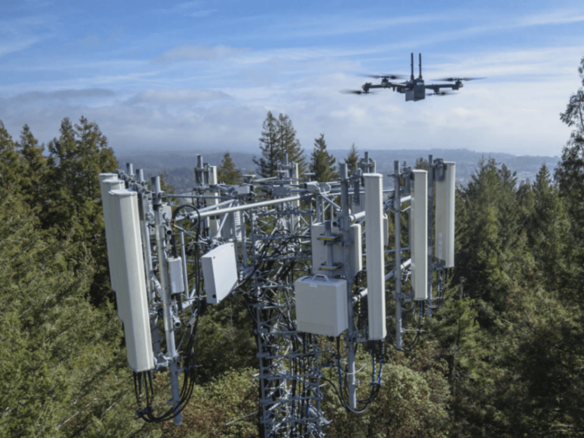
Close-up inspection and modeling of cellular towers and communications infrastructure without climbing. We capture structural condition, antenna orientation, guy-wire hardware, and lightning protection without a tower climb.
What we capture
- High-resolution tower and antenna imagery
- Guy-wire and mount hardware inspection
- Thermal checks on electrical and RF equipment
What you get back
- Tower condition report
- Antenna alignment documentation
- Annotated imagery for maintenance planning
Renewables
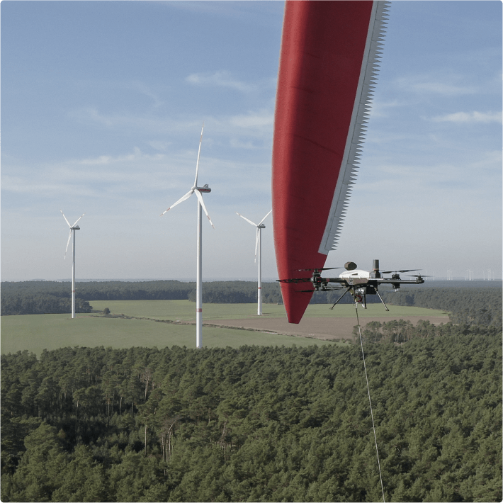
Drone inspections of wind turbines, solar arrays, and renewable assets — no rope teams, no major shutdowns. We capture blade damage, leading-edge erosion, panel hotspots, mounting hardware, and LPS issues in a fraction of the time.
What we capture
- High-resolution blade and tower imagery
- Thermal mapping of solar panel hotspots and string failures
- Close-up inspection of nacelles, yaw systems, and guy hardware
- LPS (lightning protection system) inspection from the air
What you get back
- Blade defect report with GPS-tagged imagery
- Solar thermal anomaly report
- Maintenance-ready dataset for planning shutdowns
- LPS condition report with annotated imagery
Utilities Infrastructure
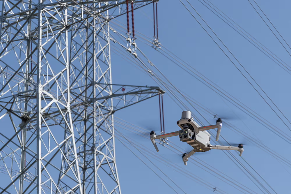
Drone inspection of power lines, substations, and utility corridors using LiDAR, thermal, and high-resolution sensors. We deliver the data your teams need to manage vegetation clearance, structural condition, and encroachment — without bucket trucks or line walking.
What we capture
- LiDAR scans of transmission and distribution lines
- Thermal checks on substations and conductors
- High-resolution imagery of insulators, towers, and guy-wire hardware
What you get back
- Point clouds and clearance measurements
- Anomaly reports with GPS-tagged imagery
- Repeatable baselines for vegetation and asset management
3D Mapping & Modeling
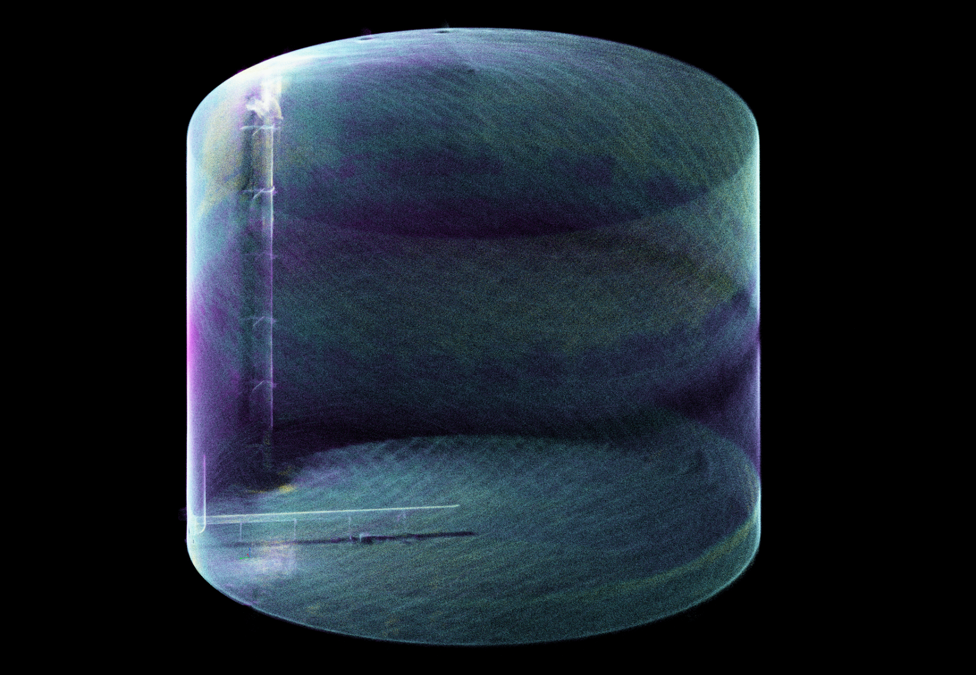
Point clouds dense enough to flag a bowing stack, a sagging line, or a vessel that's out of round. Inside and out, accurate to the millimetre where it matters.
What we capture
- Indoor SLAM-based LiDAR for confined spaces
- Outdoor airborne LiDAR for sites and corridors
- Co-registered RGB for context
What you get back
- Classified LAS / LAZ point clouds
- BIM-ready meshes
- Engineering models for retrofit planning
Long-Range VTOL Solutions
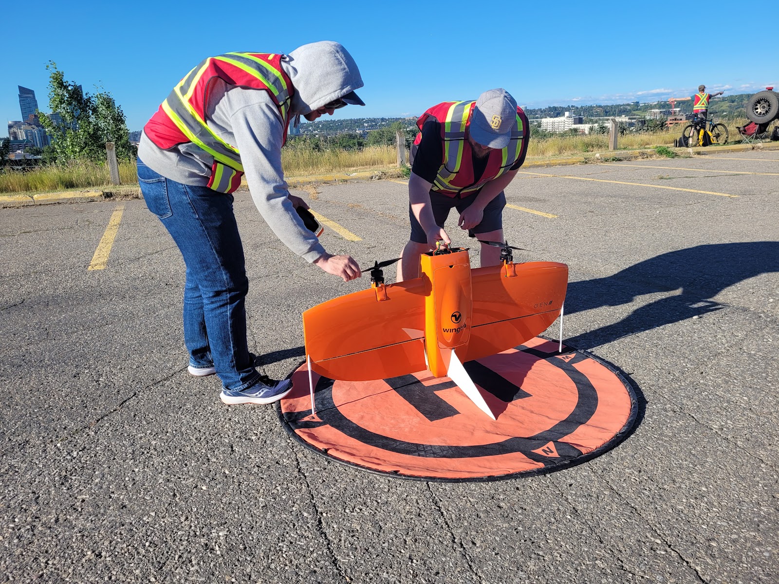
Fixed-wing VTOL platforms for pipeline right-of-way, transmission corridors, large mine footprints, and long linear assets. Hundreds of kilometres in a sortie, with the data structured for ingestion.
What we capture
- Long-corridor RGB & multispectral
- BVLOS-ready ops where approved
- Continuous capture across asset segments
What you get back
- Tile-indexed orthos
- Anomaly review with GPS-tagged stills
- Time-series for vegetation & encroachment
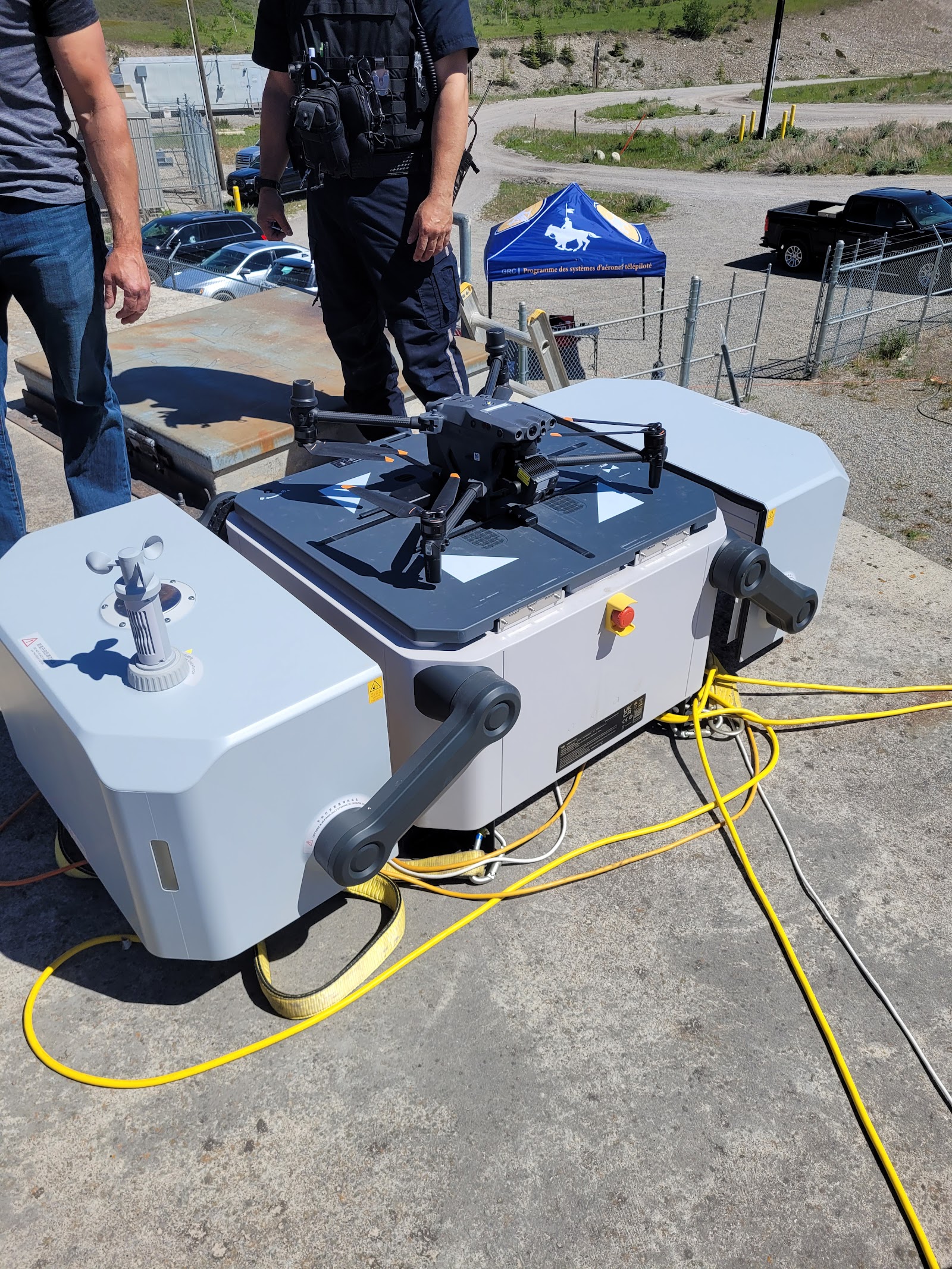
Autonomous Drone Solutions
Implementation of drone-in-a-box systems that launch, capture, and dock on scheduled routes. Repeatable, scalable, and crew-free once deployed.
What we capture
- Scheduled autonomous launch and capture
- Repeatable flight paths and payloads
- Dock-to-cloud data pipeline
What you get back
- Autonomous program design
- Scheduled inspection dataset
- Remote monitoring dashboard support